GEIST
-
Posts
53 -
Joined
-
Last visited
Content Type
Profiles
Forums
Events
Everything posted by GEIST
-
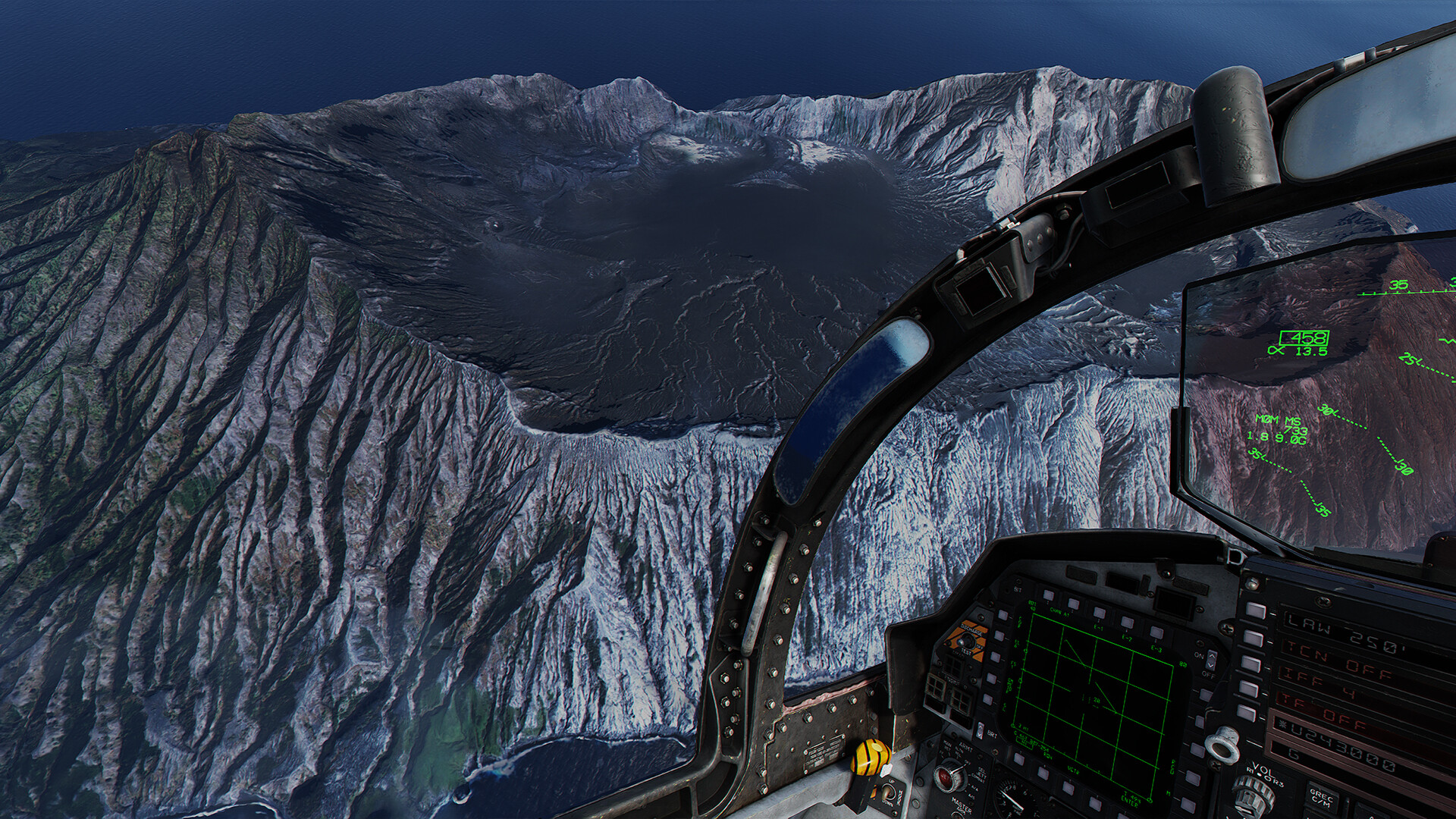
Thanks for all the replies! Re: RGB CMYK: Thanks for all the explanations, that's much appreciated. I think I maybe didn't take the best example to make my point - I was trying to say that there seems something to be going wrong somewhere in the pipe which creates these highly saturated images. Re: Fidelity and Map details: I think it's fair to say that DCS delivers much more than the competitors do in terms of simulation, so it's understandable that there have to be tradeoffs in terms of quality to deliver on all fronts. And I can see with the new maps that there are efforts in place to improve the quality so there is progress but I think it's okay to look ahead. I am bringing these things up because I don't see that these are things that are actively being worked on. Trees/grass get simulations and that's great for the helicopter pilots but I hope this doesn't mean they're not being worked on further in terms of rendering and realism. There is a reason why there is no Vietnam map yet and I do really hope ED are working on tech to make that happen in the future ... currently this would not work very well. There needs to be a rethink on how trees blend into the environment and how they are rendered from a distance... and that's one area where MFSF just works really well (not perfect but decent overall). The trees seem to cover an area properly and blend into the environment so we know it's possible and I personally think that can be done with DCS today given resources are dedicated to it. And looking at the newly released Kola map I'd say that's required... the map looks great but the trees from hight altitude ... it's a bummer. I've done some tests myself on how to imporve the environment. This is an island created to replace the one in the marianas (anatahan). It runs quite well on a 3080ti with DLSS - but obvs not everyone has that kind of GP. I think there is a world where the maps can look better and we still have decent performance. And that's what the settings are for to turn them down if you don't have the hardware - but if you have a 3080 or 4080 or whatever I think that can be done now if DCS spends the time and resources on a project like this.

-
I think we're on a similar page now. I stand by it when I say it's a hugely complex topic beyond human perception. And I think there are 2 different ways to look at perception which might come into play here. There is the one what you're referring to and how your chemicals react to the light(colorblindness aside e.g.). I'd argue that probably isn't very much at all. Eyes need such precision that they are overall quite similar between every human. The other part is how humans perceive the image they see. A lot of people will see something like the caucasus map - that's what they've always known, they are familiar with it and they can't imagine it being 'wrong' until they see it. So in that regard I would say you're right - perception matters hugely but not in terms of how color is displayed but how the brain interprets it. I'll rephrase my original statement. I would like the maps to more accurately represent the true colors by default. And I think there are ways to do so by measurement - accounting for everything you listed above. There will still be errors it can't be helped but I bet 3 chocolate bars and an apple pie our current maps will not be close.
-
Okay let's dive into this topic a bit more. I can see where you are coming from - you're referring to the mathematical part of converting one colorspace into another. Yes that's easily done - with 1 click of a button in any modern software package. Does that make the color 'correct' - no it doesn't. It simply converts one colorspace into another. This has absolutely nothing to do with the accuracy of the colors compared to real life. You were referring to a color chart earlier - that's a great idea but only works if that color chart was present when the photo was taken... in any other case it's completely useless, you can't do it after the fact - as the conditions when taking the image matter. Let's take a photo from caucasus (RGB, CMYK doesn't matter - let's assume it's correct) and you pick a color of the trees and apply that same color to the trees in DCS and put it in the RGB render engine and on our screens. Does that mean the color is correct - No. Human perception aside that green may or may not be the correct value unless that color chart was in the picture when it was taken and the photo color corrected. And let's say even that is all correct. There was a color chart when the picture was taken and the RGB values are correct there is the rendering part of it all - where simply using RGB is not enough to accurately represent the colors and other factors come into play on how it's all calculated. From your replies I assume you're getting all that - what I am referring to is that by simply saying it's RGB, it's linear is oversimplifying the problem ... yes its the defined colorspace but it doesn't in any way mean that the colors are 'correct' and that goes beyond perception. In certain lighting conditions your colors might be completely off while you're in the correct colorspace doesn't mean your values are 'correct'. On top of that is perception which is a uniquely complex as well but overall we're talking about a median here. btw. kudos for checking out the paper!
-
Jup! Super easy! http://www2.mat.dtu.dk/people/J.Gravesen/pub/48-2015-colour.pdf And of course are we talking about perception of color - that's what colorspaces are all about. As I've stated above I am excluding people with eye related issues (color blindness included). But that's not what we're talking about here, right? But let's leave it at this hehe - I think I can say with quite certainty that the colors are off in DCS. I can't say for certain in any way if that's based on colorspace, rendering techniques or filters applied but something is not right. Thanks for the suggestion of the filters btw - will give that a go and see if that helps!
-
Ah gotcha! Yeah definitely didn't intend to troll - just some observations I've made. Will try and find some topics related to that now
-
Thanks for your response. Good points made on your end. This one however I have to disagree. Colorspaces are hugely a complex topic and depend on lots of factors to get it right. Assuming everything is RGB and using linear transformations will get you where we are. CMYK was just an example if anything was based off photo reference there is a chance conversions went wrong - e.g. compare DCS to a photo of a magazine image printed some time ago and say the colors look correct. That's where your perception part comes in but that's not grounded in any data - perception of color is relatively uniform (unless a person has some health related issue) - scale on the other hand is very subjective. I am not trolling. I see we don't see eye to eye on this but that's all good.. different perceptions I suppose.
-
@Sirrah: Sorry had to remove the link - just search dcs in youtube and you'll come across it. Also what I forgot to mention is that the issue with the maps goes beyond the look good factor. • There is a much reduced sense of speed when flying at low altitude as everything looks very samey • Callouts during a mission make limited sense. 'The big house next to the main road' usually could be any of the 20 standing around that area. Cities at least have roads, in open terrain there is just not much to go by. There are no unique features to them to be more specific. Just need to give GPS or laser coordinates. • Sense of scale is also off. It's better in VR but somehow there is a bit of a minitiature world feeling in DCS @Rudel. Noted.
-
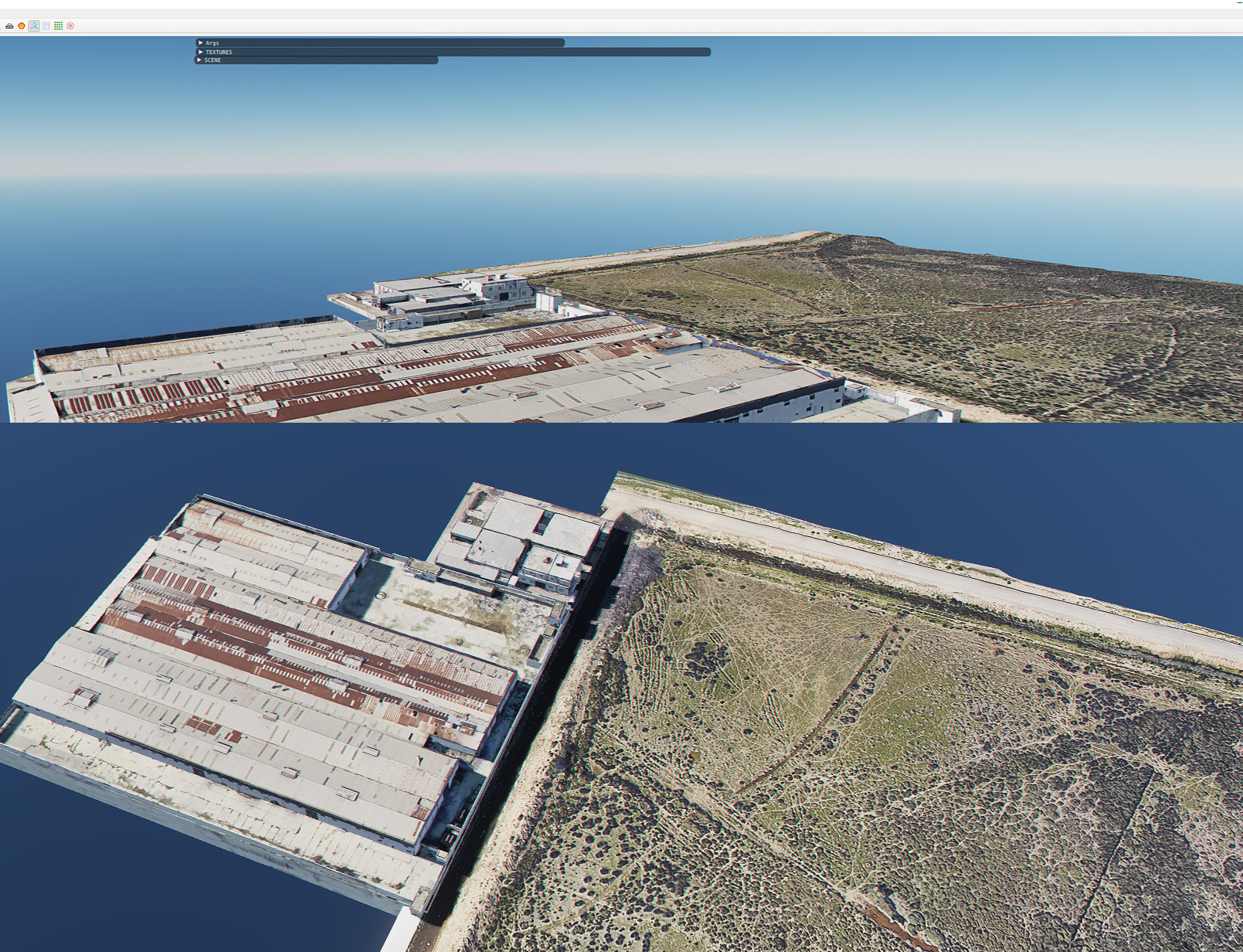
Hi! It's time... I don't run the business at ED but if you offer a free flight weekend and with all modules and someone loads up caucasus, that potential client will probably fly off somewhere else. But that's not why I am posting - I own quite a lot of modules and all maps but it's just not quite there yet. The new maps are better and I'll post my statement here but some essential problems still remain with these - they all have a comical look to them. Thank you whoever made this video as it shows it in perfect clarity. Comparing the two you can see a few major issues: • The color mapping is off (it has always been and looks like it's the case with the new maps) which gives DCS it's distinct comical look. Saturation is too high. Maybe some RGB CYMK conversion issue that happened when the game was developed but there is clearly something off. And this only related to the maps - the planes do look great! Or maybe it's just how the color range is rendered... I know there have been many discussions about it always concluding it's correct but it isn't. Color Theory/Colorspaces/Rendering are hugely complex topics and if the rough RGB value is in the same realm does not mean that is reflects it accurately. There is some logical flaw in how this is rendered which gives this odd perception of the world. • Trees do not blend into the scenery. Trees usually look like the scenery and tend to blend into it. In DCS it looks like they have 1 color and that's set everywhere so they stand out in the bring laser green with a hard edge compared to the ground which doesn't work very well. I think some tech is needed that blends the color of the trees based on the satellite data (like the grass) to blend them better into the environment • 10m height levels with normal maps are not cutting it anymore unfortunately. I can see satellite data is being used but it seems so low-res. I know new maps are coming but I don't think that was resolved yet. • Use photoscan workflows. The blockout building and instance them around the scene based on satellite maps isn't working very well. My suggestion would to scan 1 city with a drone flyover and then you can at least build your library of houses, streets, sights based on real datasets. • I've tested creating ground 3D assets in the past and the engine can handle it (I went overboard with my tests and you need a 3080 to run it but I feel like there is a middle ground between performance and pushing the visual fidelity a bit more). Thanks for reading!
-
With the latest developments in server tech, especially looking at star citizen which developed a working server meshing technology I think a lot more is possible. Now that it’s proven technology that this works I am sure this can be implemented in dcs as well. That would mean that you could indeed have a dedicated server focussed on first person/ground mode which will have a high fidelity map loaded… maybe a single city or village in full fidelity. Now all of this would be shared with the DCS main server but only loaded when you enter that servers area, otherwise just important data like unit positions Are shared between the servers. a plane would probably never enter the high fidelity zone and always see the more low-res version of the city but with all units at the correct position. A helicopter might enter the server to load/unload troops but will only be part of that hi-res city once it’s really close to it. Once it leaves and returns back to base it would join the main server again. Depending on the map that would be awesome if you could have a few designated hi-res areas that can be shared between the 2 modules and could make for some incredible JTAC coop gameplay.
-
Hey! That annoying RL got in the way so I didn't have time for anything DCS for ages. Slowly getting back into it and hopefully not too much longer!
-
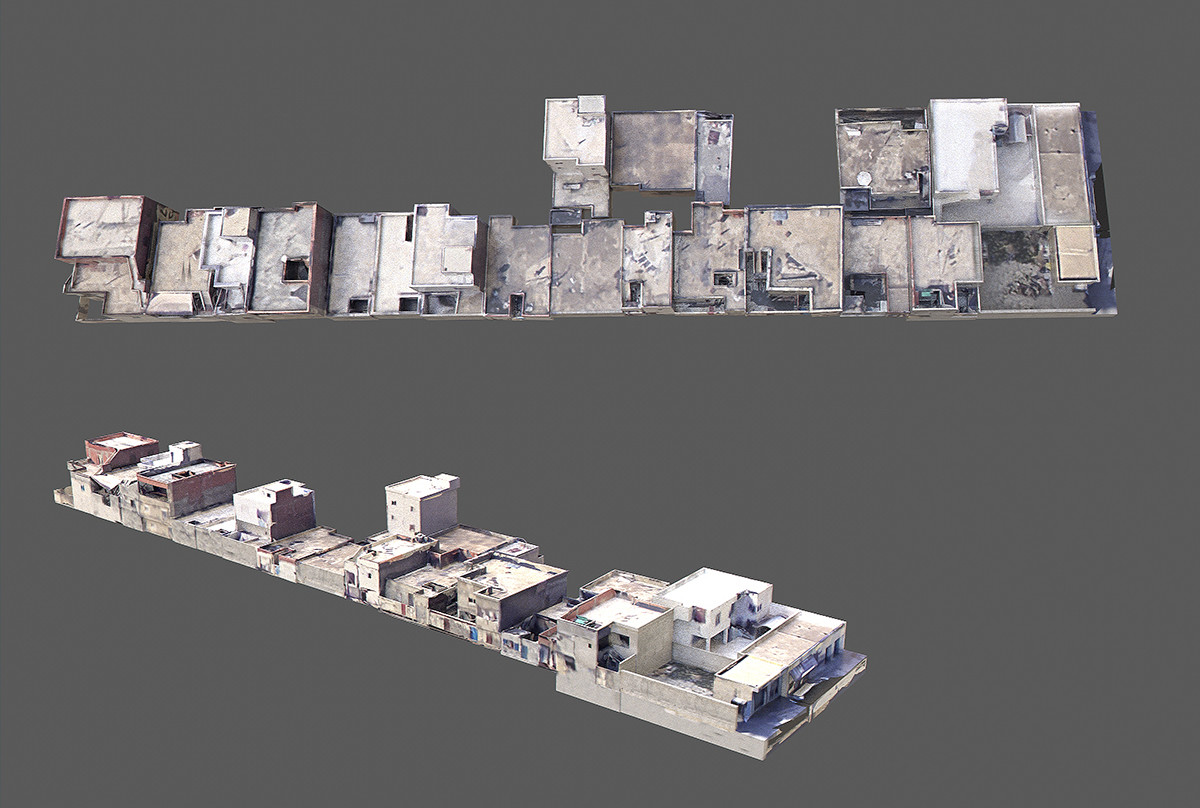
Hey! It's been a while. Progress has been really slow on this unfortunately. I've been playing around with the modularity aspect of the town. I am thinking of generating a few blocks that then can be placed, rotated etc to create a more complex layout without having to custom make everything. Not all of the buildings shown here are properly modeled so there is still some way to go but there are only a limited amount of 'modules' here that do create quite some complexity. I would probably say not going to happen this year - but I am slowly chipping away on it. But also need time to fly I've am also experimenting with a system to integrate the buildings more with the environment. Currently all buildings have dynamically placed geometries on the rooftops (vents, solarpanels, satelite dishes e.g.) but that same system could be used to place 'clutter' around the buildings as well. I always find it a bit distracting to have the hi-res buildings sitting next to the procedurally generated and completely flat/empty roads. What we need is trash, boxes, clutter etc around these areas as well - I think this could blend them better with the environment. The tech is in place, just needs to be used a bit differently.
-
Fair enough, but I think it’s the case with any progress where you need to take a leap at some point. MT, DLSS and GPUs really getting quite fast I think it’s reasonable to take the next step. 20 years - I think nobody rushed anything. Change can be scary but I have a feeling it’s the iPhone effect. Yeah a T9 phone works but nobody would ever go back these days. Have a Caucasus 2.0 map that looks and feels like the real thing and you may never want to go back. And heck keep the original in the game but have the 2.0 version available.
-
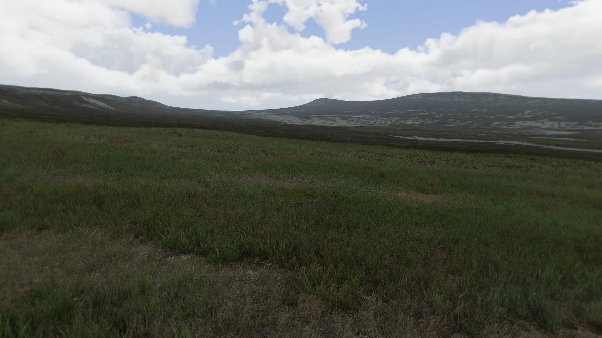
I am with you there. I know a terrain in dcs has to deliver on a lot more than msfs e.g. and performance is always a consideration. But still I can see there is more possible these days and with the right amount of optimization I think it can look good and work well. The falklands map e.g is based on real drm data and textures - far from a perfect map but from high altitudes it looks pretty good. Well, that's exactly what we're doing here right - in the caucasus map forum. It's an almost 2 decade old map which in my view should be retired and replaced by something up to date. If you go online 60% of all players are still playing on caucasus - it comes with the game and you can't expect everyone to have the same terrains. So this means you're kind of stuck flying that really old map with all it's drawbacks as the marianas map hasn't really had much traction (it is mainly a ww2 / f18 map to be fair) and I think it's a bit of a shame. But let's leave it there. It was already said there is nothing in the works atm so I guess it will be that way for some time. So maybe yeah adding those lights will be good after all.
-
Cheers for the reply. I get that it’s quite old and I just think it’s gotten to the point where the contrast between the modules and this map is quite big. i hope there can be a replacement in the near future. @draconus I didn’t mean to offend anyone. It’s been upgraded to the extend where it’s tolerable but yes I can see the old tech and low-res environment in that video. And the main issue with it is that the map doesn’t look like the real world. From a satellite view and airfield placement you can probably recognise where you are but otherwise it’s pretty random and not representative of a real world map. That’s what’s possible these days. DCS has the best flight model, the best clouds so I know the team can do it… maps are the last thing that needs to be brought to 2023.
-
I do wonder about that. You get all these awesome promo videos and showcases for planes etc and then you download dcs and load up a Caucasus mission and as new user probably wonder if you downloaded the wrong game… because you landed in 1992 graphics. The main issue I have with this though is that you can’t fly vfr and any ground attack is difficult because everything looks EXAXTLY the same… those 2 buildings and 1 tree scattered around the whole map so you can’t tell what’s what…. I don’t know. If I were in charge I’d get that map updated as prio #1… That being said, the new lighting model alone is probably a waste of time because this needs more than that.
-
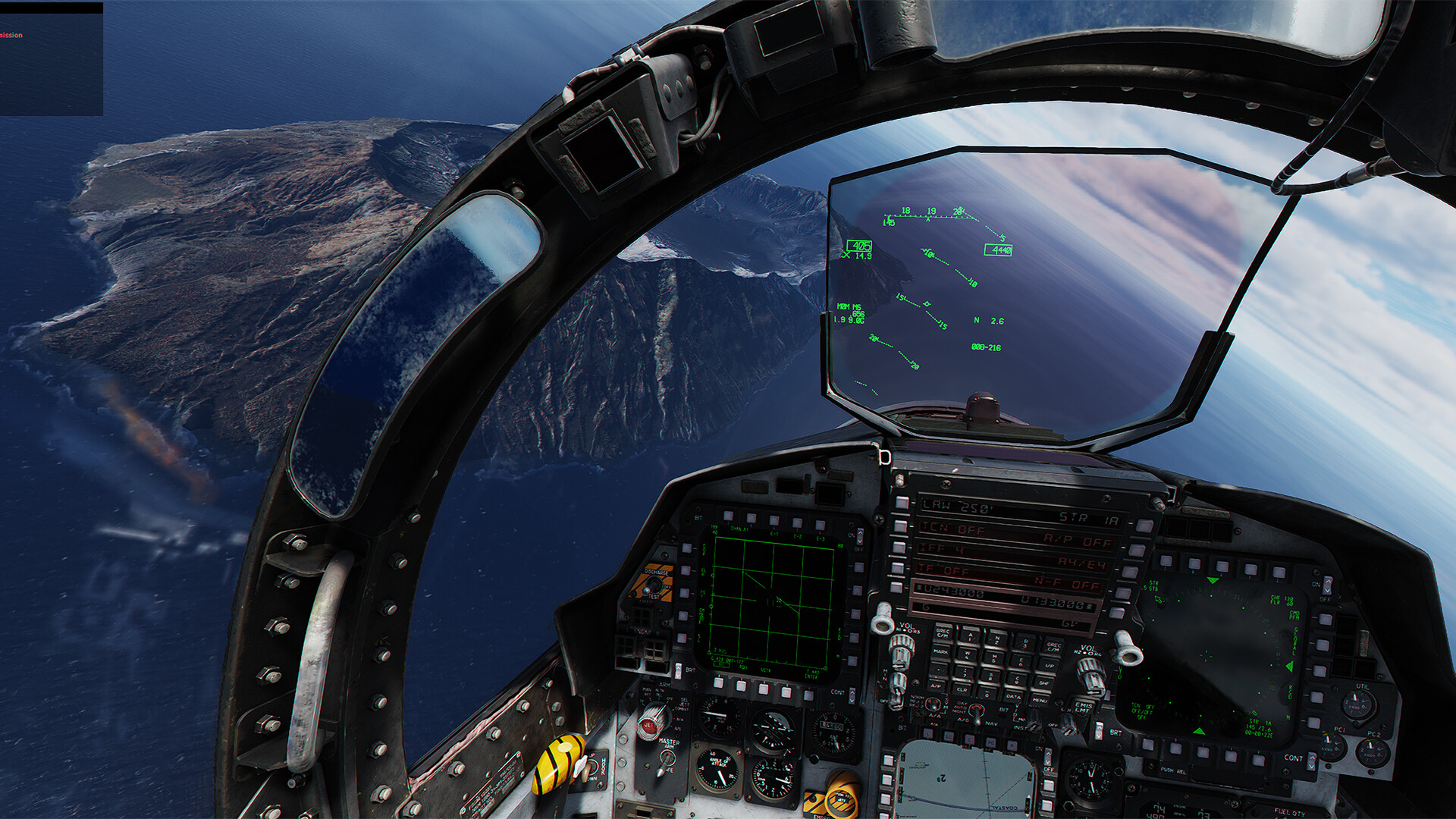
I haven't had much time recently, and we now have the island as part of the map. I need to adjust it so it can sit "on top" of the existing island. Made some progress but still some tweaks to make before I can release it. Will update here once that's complete:
-
That stuff can be bought for only a few gold coins: https://quixel.com/megascans/home?category=3D plant
-
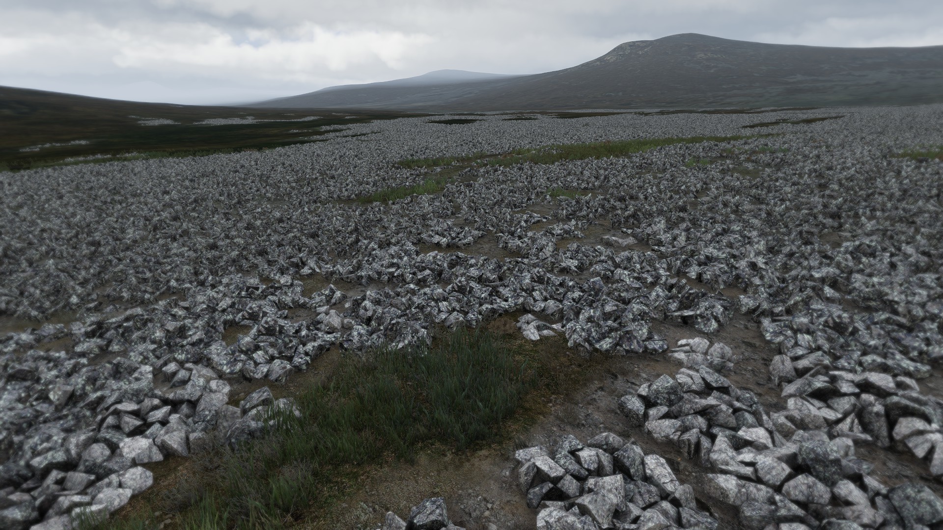
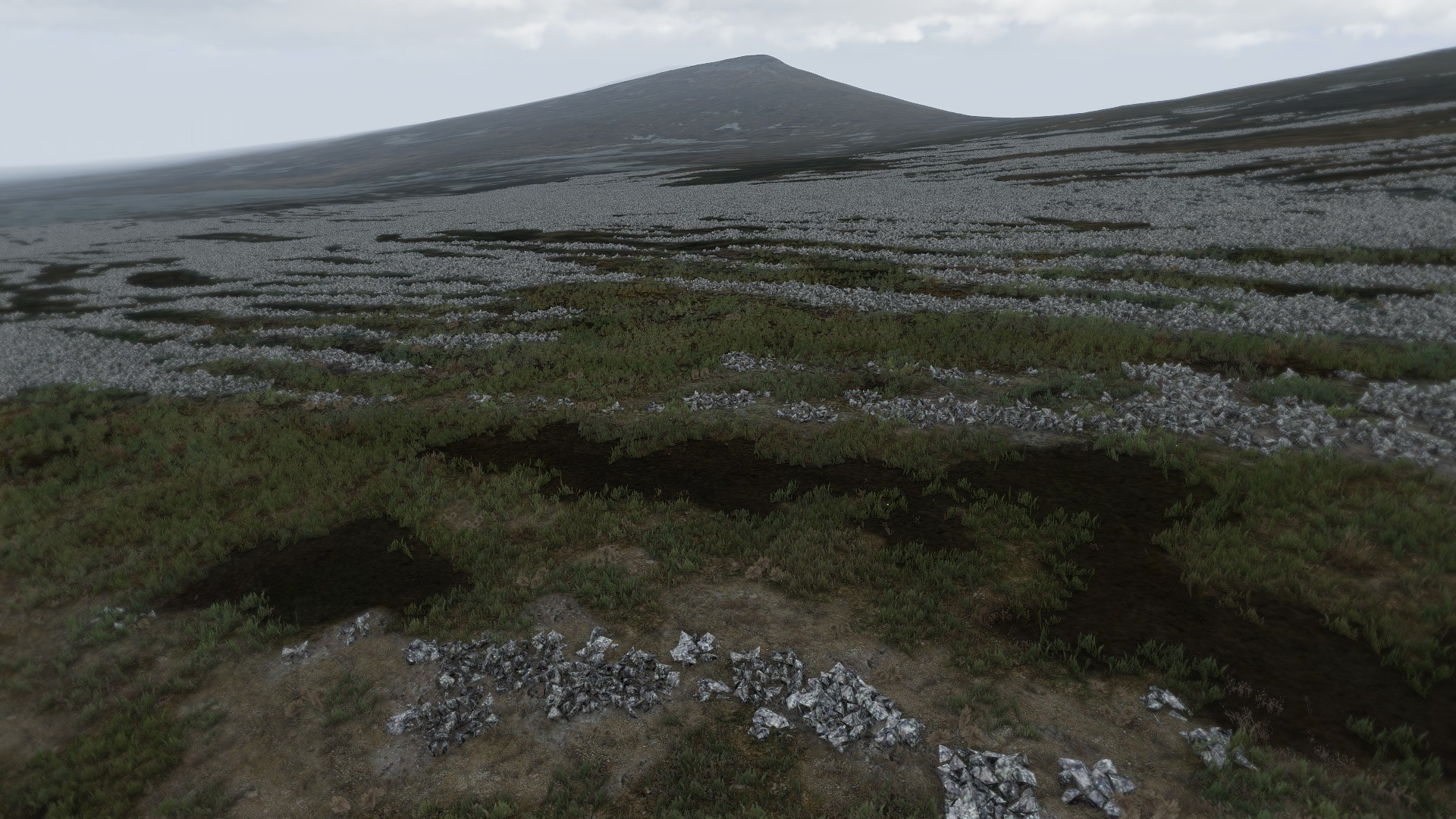
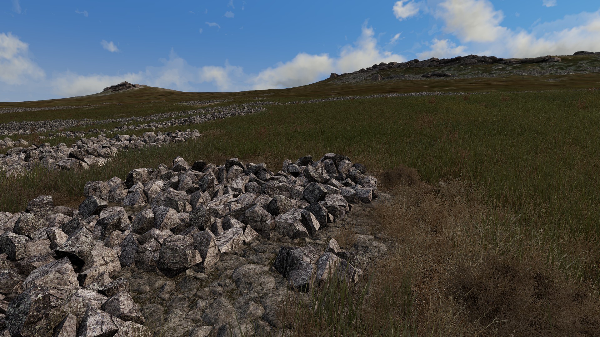
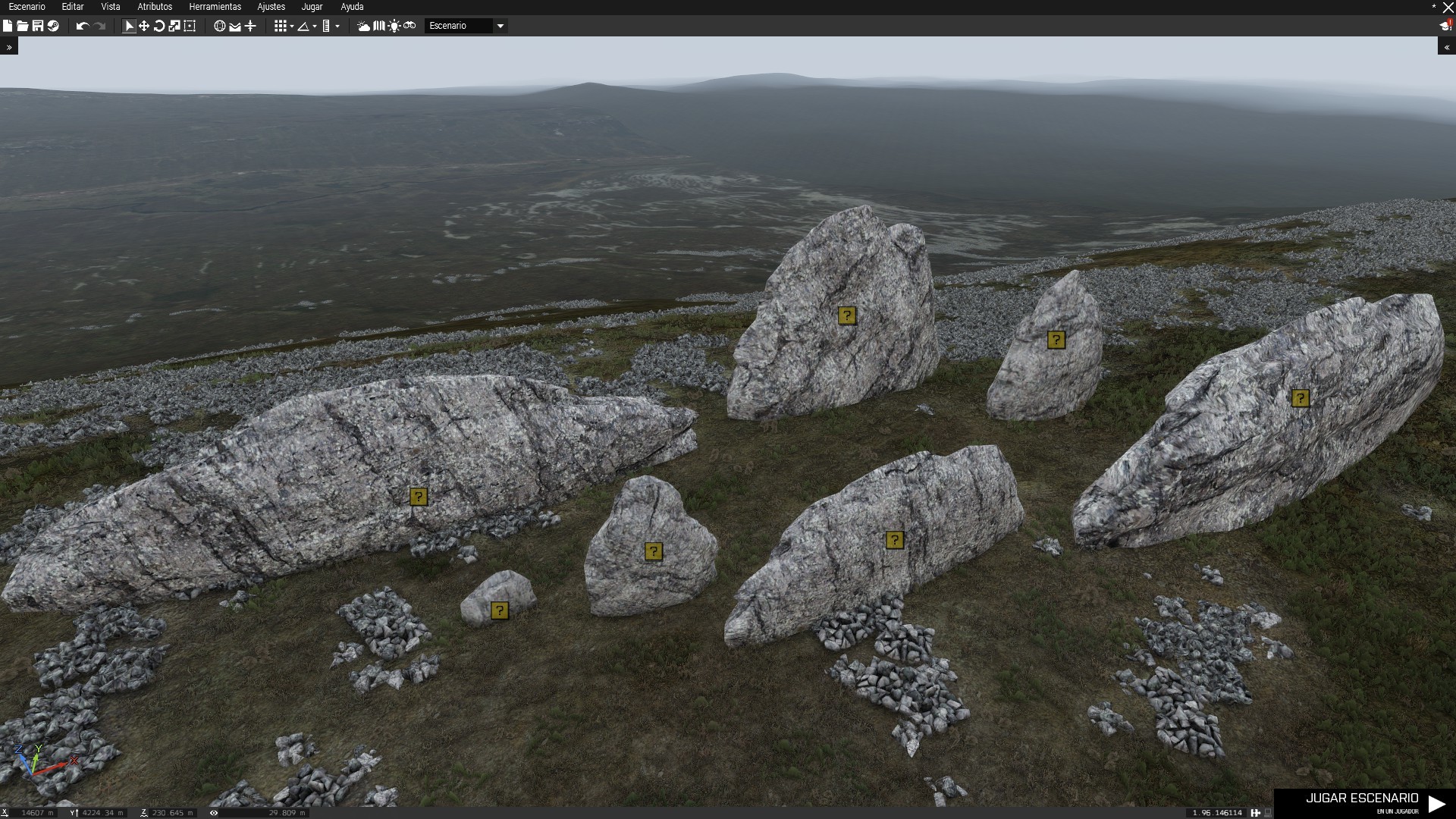
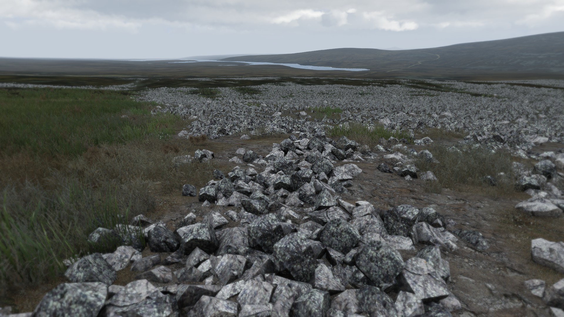
Hi! Bought the map! Love it! Flying high over the map is an absolute blast and by far the best looking map out there. None of that tiled texture nonsense mushed together like the other maps and for the first time it sometimes looks like a real flight sim. Well done - can't wait to see more updates for it. Flying low - well that's another story but undestandably that's a mammoth of a task and I am sure there is a long list of todo's. Now here is one suggestion to improve the map fundamentally with hopefully very little effort. Change the grass, clutter and ground detail! The default grass in DCS is terrible ... terrible! It's a kids drawing of grass and way too big on top of that. There is a project for ARMA3 which was abandoned as far as I can tell, but I think there are some amazing results in there. The grass textures are based on photo ref and not that hand drawn 2d plane thing - which just makes a world of a difference. Adding a few different plants, combined with the rock formations it adds a lot to the scenery. And given how old the Arma3 engine is and how big the maps are performance doesn't seem to be an issue. https://steamcommunity.com/workshop/filedetails/?id=2066138453 Keep up the great work!
-
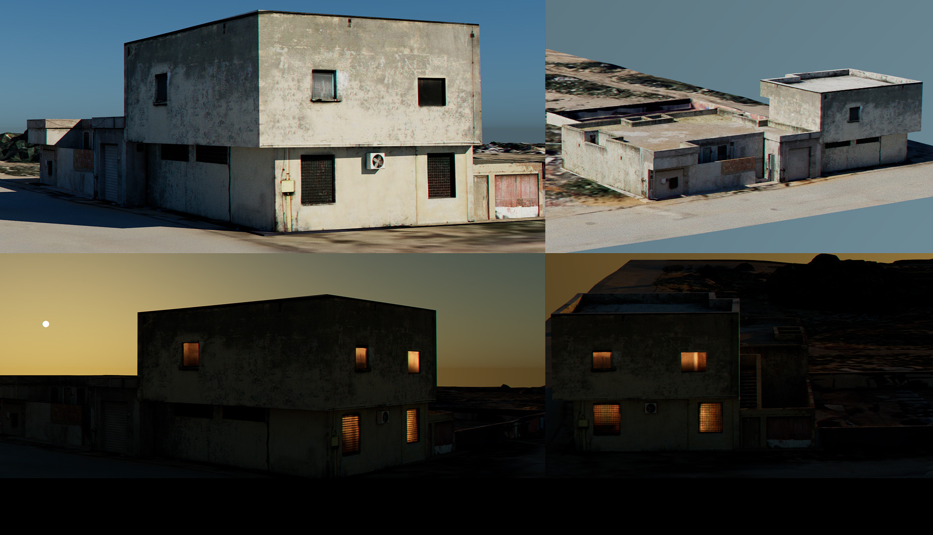
Hey chaps! Progress is slow but there is progress ... I've been playing around with a base for the nighttime look of the buildings. The current look of a flat white color on the windows at night is a bit dated in my view. The houses here sit at 700+ polygons each so still low-res enough to have lots of them on screen. Still loads of buildings to do but I wanted to get a working preset up and running first. @limoncino There is no download link yet. Still some way to go before I can aim for a release.
-
A few more updates. Focussing on making it work from a distance first. Close-up and detail work will come a bit later.
-
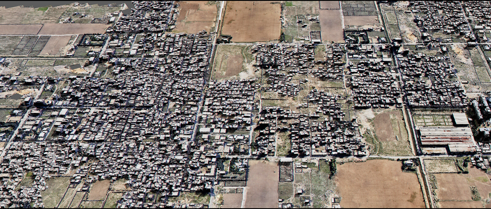
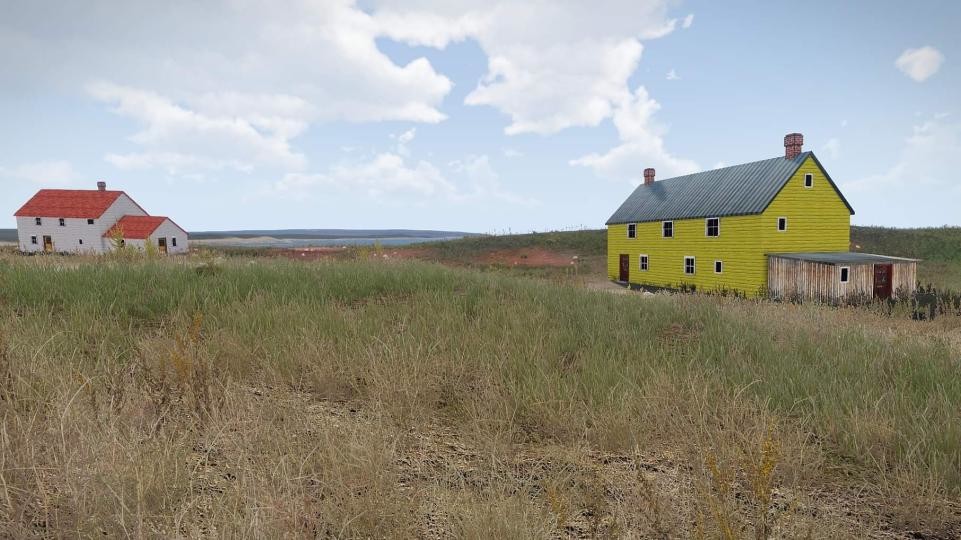
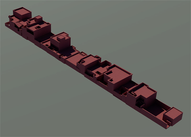
Combining my 2 favourite games into 1 - Sim City and DCS. Thinking of adding my Majors residence to it which will be indestructable and made out of gold - we'll see. Blocking out some houses. One thing I realised is that the cities are usually a lot more packed together which is completely missing from dcs. It's like a procedural house placement with default gaps between them which makes it look so odd. This is way more exciting that looking at screengrabs of planes right?
-
That would be the dream! Are there plans to do that? I feel like things got more restricted than before so I wasn't expecting that to happen... Out of the box the data is way too heavy though (not made for realtime) and would need a bit of processing I believe.
-
Ah for sure! Had the same idea - I even thought to make a few slightly different so you might be able to spot them if you look really closely. Could be a cool co-op thing to have an F-16/18 high up spotting with a TP and some choppers down below.
-
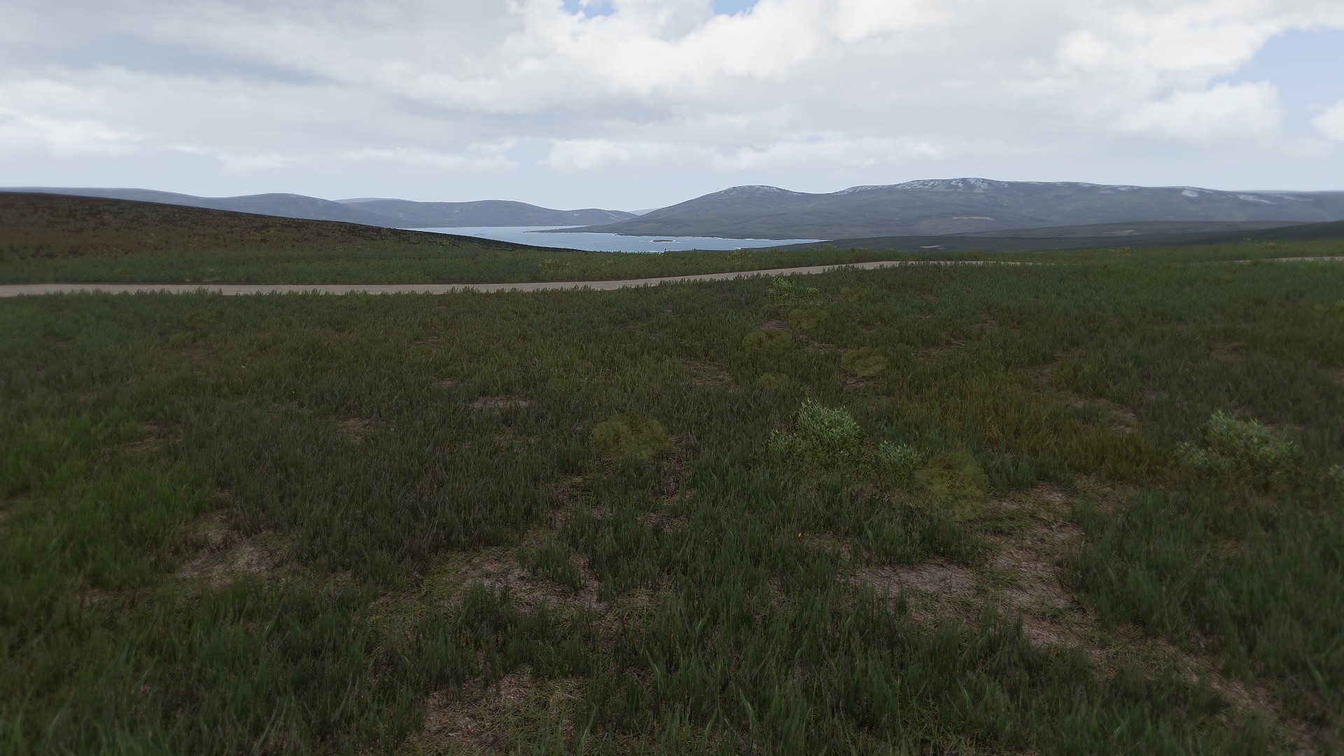
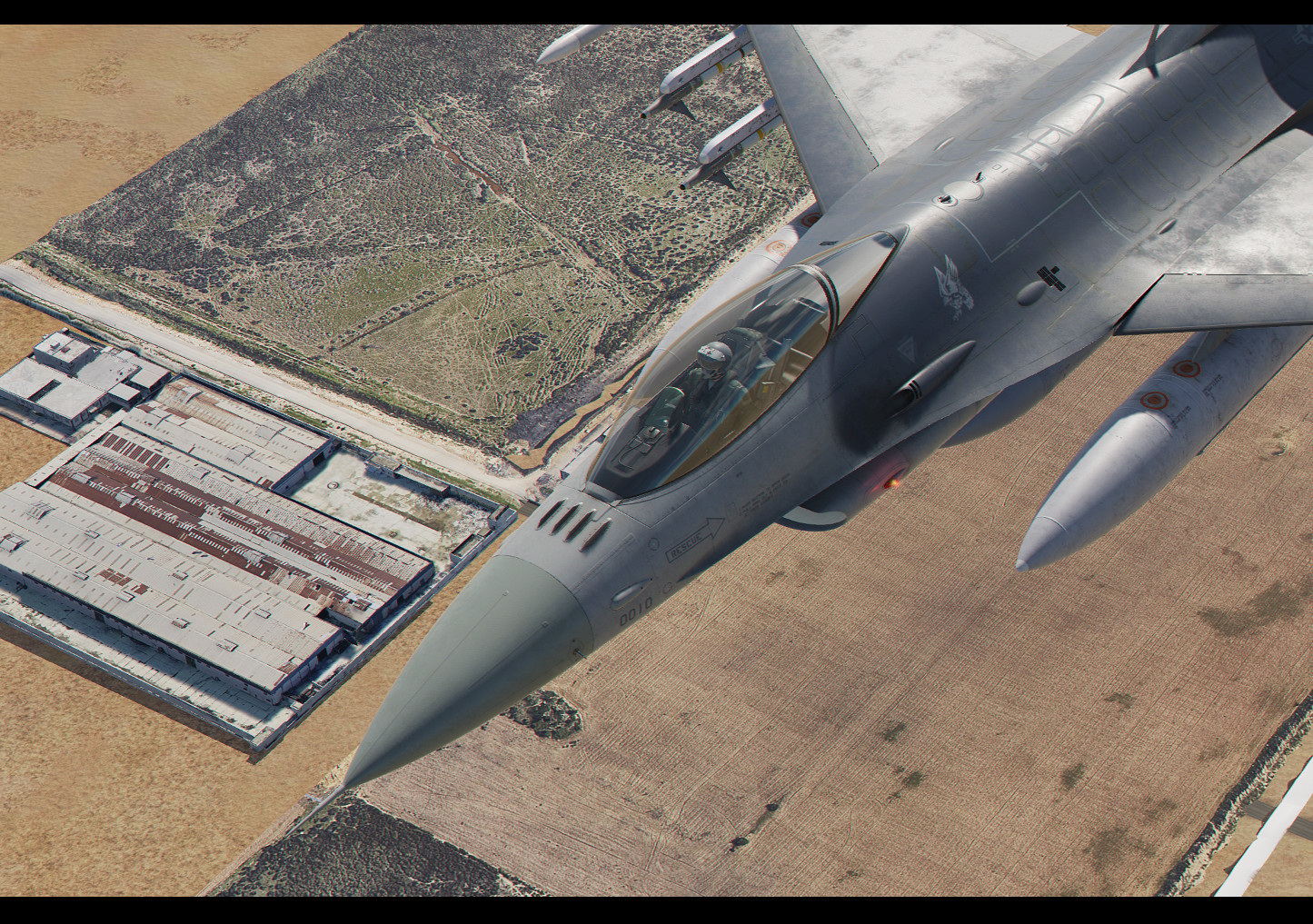
Having some fun with some 'flyover' screengrabs. Unit placement will be tricky when adding any sort of fields as the ground is not flat. They will always be a bit sunken into - but that's for later to worry about.
-
Thanks! The first version will be for the Gulf map. There are large unpopulated areas in the north so it's the perfect area to customize. I am not ruling out a caucasus version if this works as expected, but probably a bit further down the line.